Geodata and ICT Solutions for Inclusive Finance and Food Security
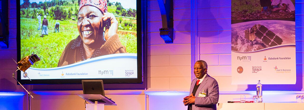
On Thursday February 16, NpM Platform for Inclusive Finance, Rabobank Foundation and the Netherlands Space Office (NSO) organized the conference “Geodata for Inclusive Finance and Food”. The conference aimed to show, share and discuss the latest technological applications based on satellite data in relation to inclusive finance and food security.
Recent developments in technological applications such as satellites provide good sources of information to increase outreach of financial services especially to rural areas and for smallholder farmers. Geo-data and information and communication technologies (ICTs) such as geographic information systems, drones, and cloud computing are now being used to boost smallholder’s production and their income.
Current innovations and possibilities of satellite data and other ICT applications were presented at the conference “Geodata for Inclusive Finance and Food”. Watch the conference video through this link. Find the presentations of the keynote speakers here. One of such examples is the Geodata for Agriculture and Water (G4AW) Facility; you can find recent lessons learned of the program here.
At the conference, the publication ‘Geodata and ICT Solutions for Inclusive Finance and Food Security’ was launched. The report shows that small-scale farmers are increasingly using ICT applications to improve agricultural production, to access information on markets and prices and for banking purposes. ICT also offers opportunities for the financial sector to increase cost-effectiveness and outreach of financial services to rural areas. Training of farmers to apply it on a large scale is essential. Universities, companies, governments, UN agencies and NGOs are working more closely together in this field. The report highlights that in order to catalyze the development of technologies that focus on improving agriculture and finance, even more collaboration, knowledge sharing and testing is needed. The publication is based on an analysis of 250 projects, you can access the Geodata & ICT map with all 250 cases here.

